Your trip,
retold on the map.
Pick the photos of a trip. TraceVoy rebuilds where you went and turns it into a cinematic map film and poster, on your iPhone.

How it works
From photos to film, on your iPhone.
-
 1
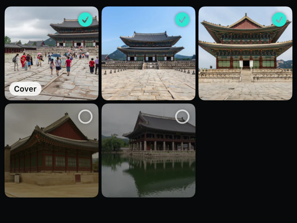
1Pick photos
Choose a trip's photos with the iPhone photo picker. TraceVoy reads when and where each was taken, and what is in it.
-
 2
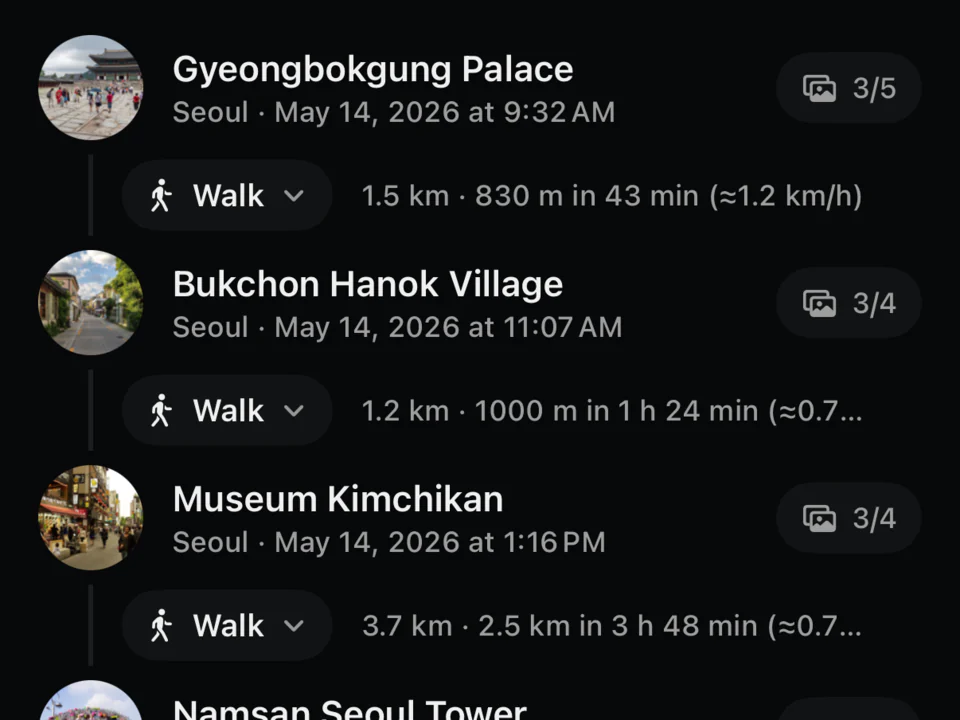
2Places found
Stops, the legs between them and how you travelled. Places are named from an offline gazetteer and the map.
-
 3
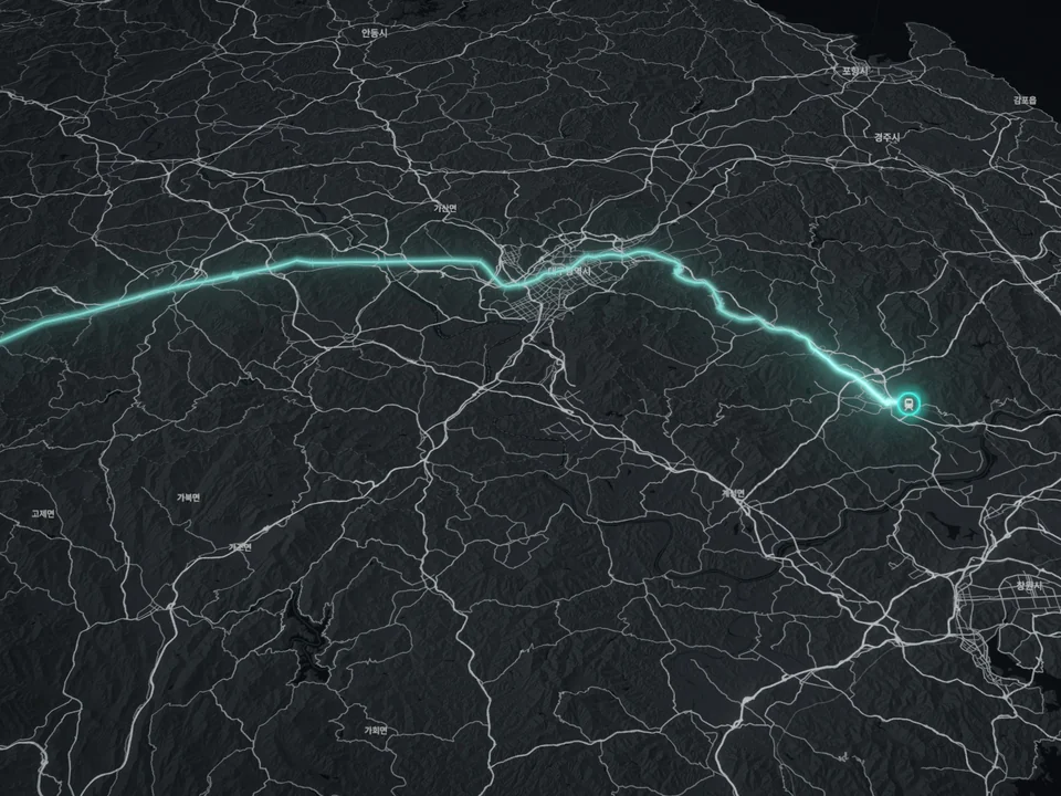
3Routes traced
Legs follow real roads, paths and railways, worked out on the iPhone. Flights fly as arcs.
-
 4
4Film & poster
A map film with photo cards, place names, a title and totals at the end. A poster image too.
Frames
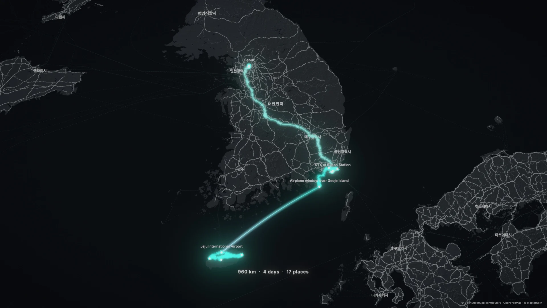
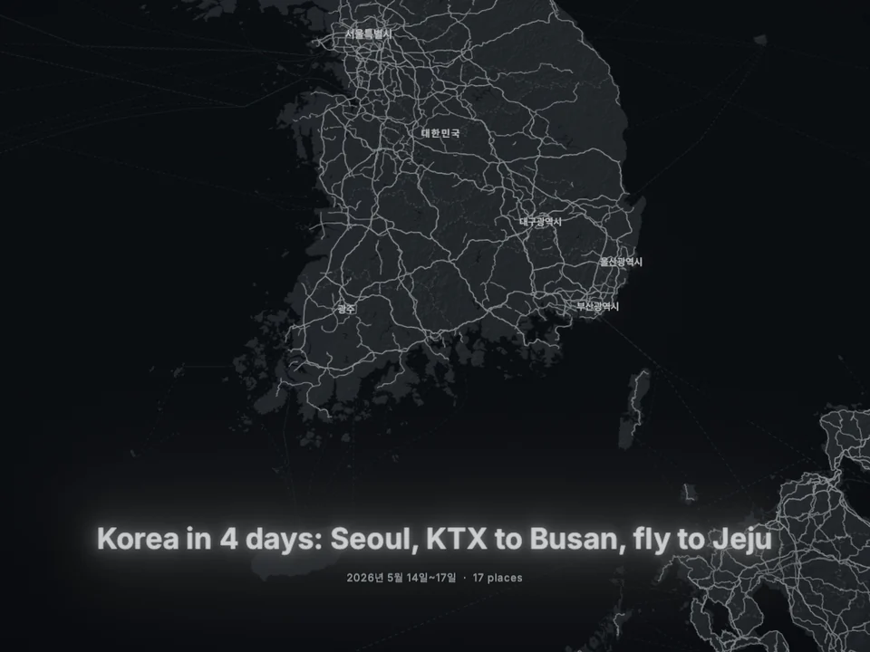
Korea in 4 days, as TraceVoy drew it.
Seoul on foot, the KTX to Busan, a flight to Jeju. Every frame comes straight from the film, drawn by TraceVoy's own map renderer.
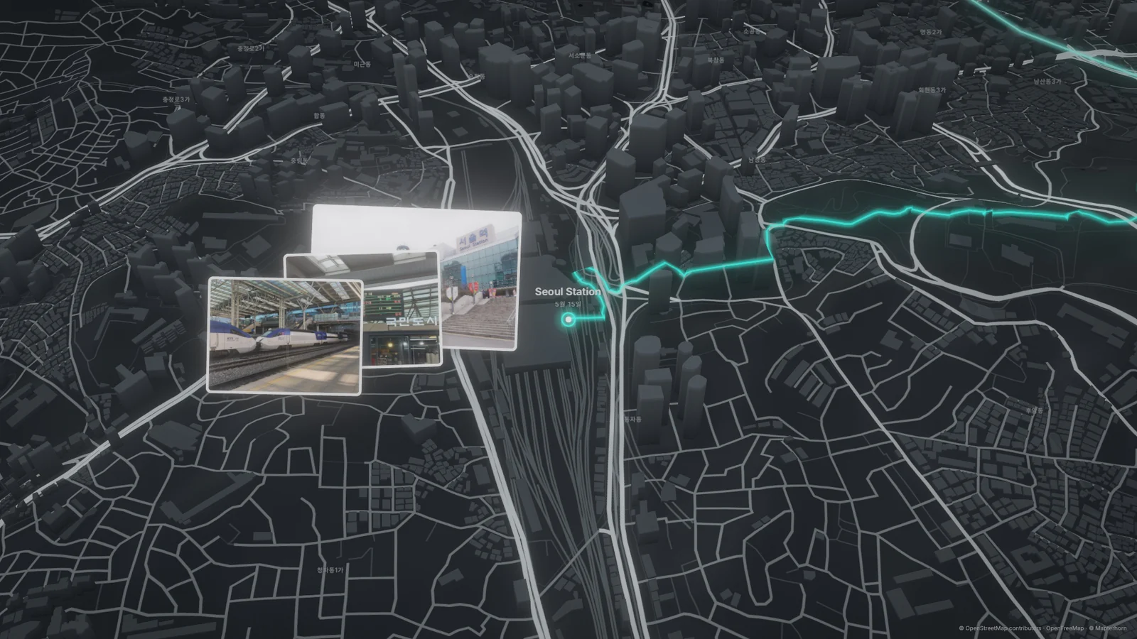
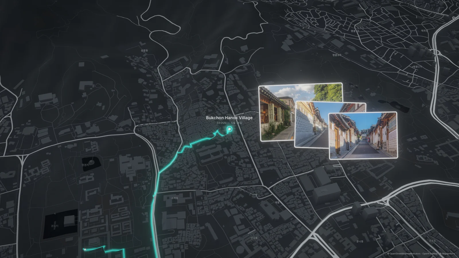
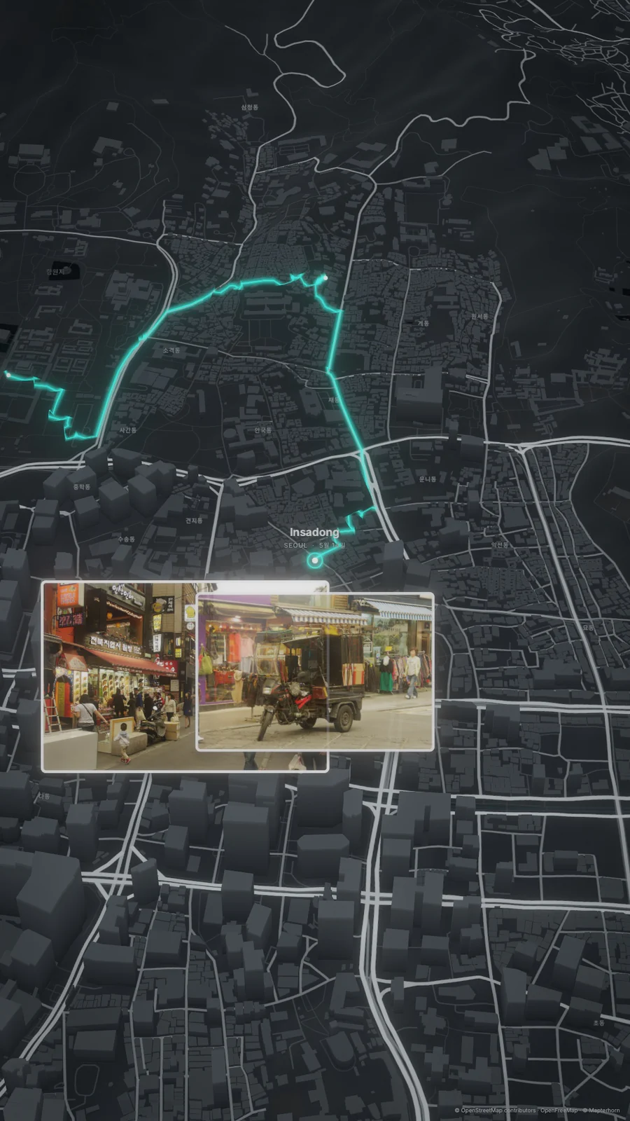
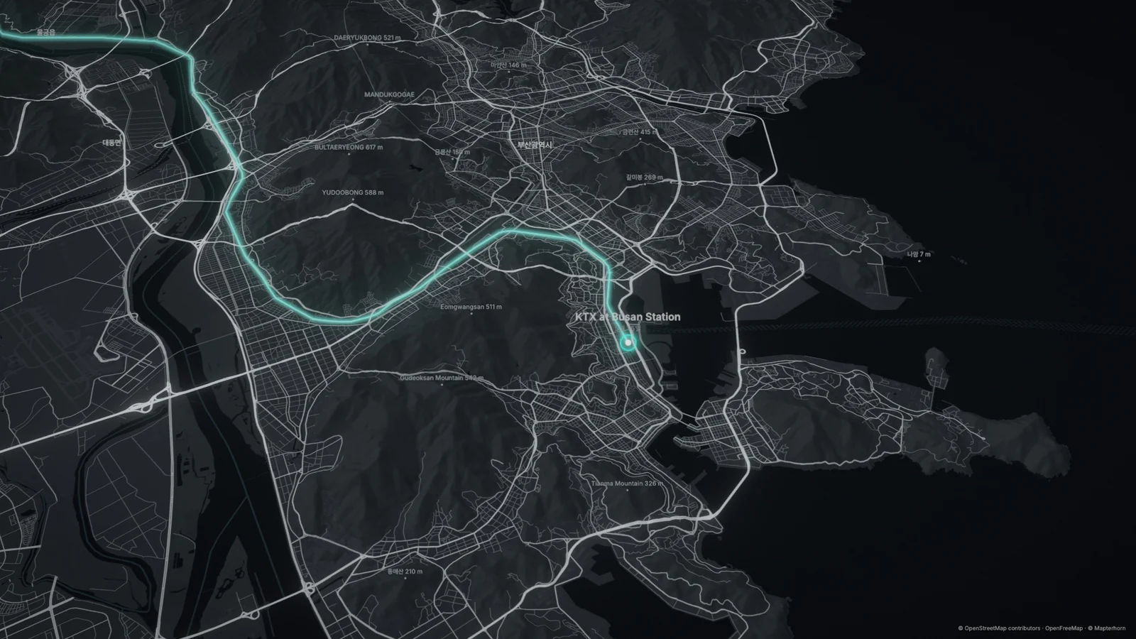
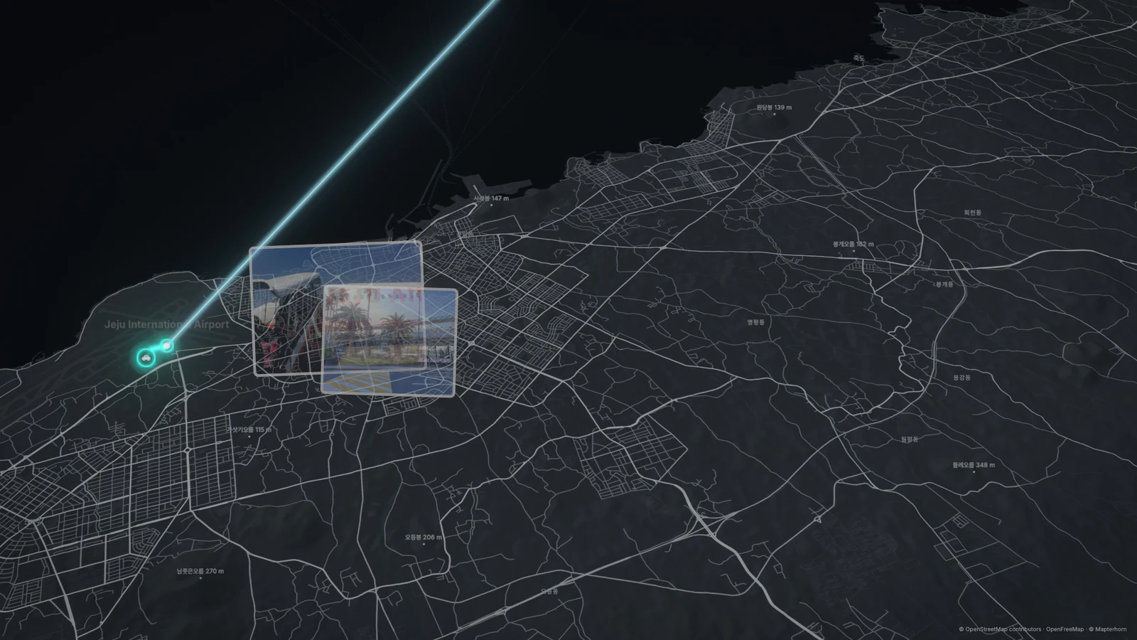
A sample trip made from Wikimedia Commons photos. Map data © OpenStreetMap contributors · OpenFreeMap © OpenMapTiles · Terrain © Mapterhorn · Photo credits in Licenses.
Features
Real routes, your edit, your look.
Real routes
Traced on your iPhone along roads, paths and railways from OpenStreetMap. Anything it cannot route is drawn dashed, as an estimate.
Eight ways to travel
Walk, car, bus, train, subway, ferry, flight or cable car. TraceVoy works out each leg from your photos; change any of them.
Your edit
Rename, merge, move or add places. Leave stops out, choose the photos each stop shows, route a leg through a place. Undo and redo.
Your look
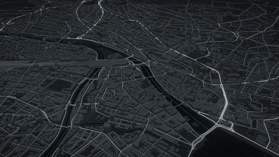
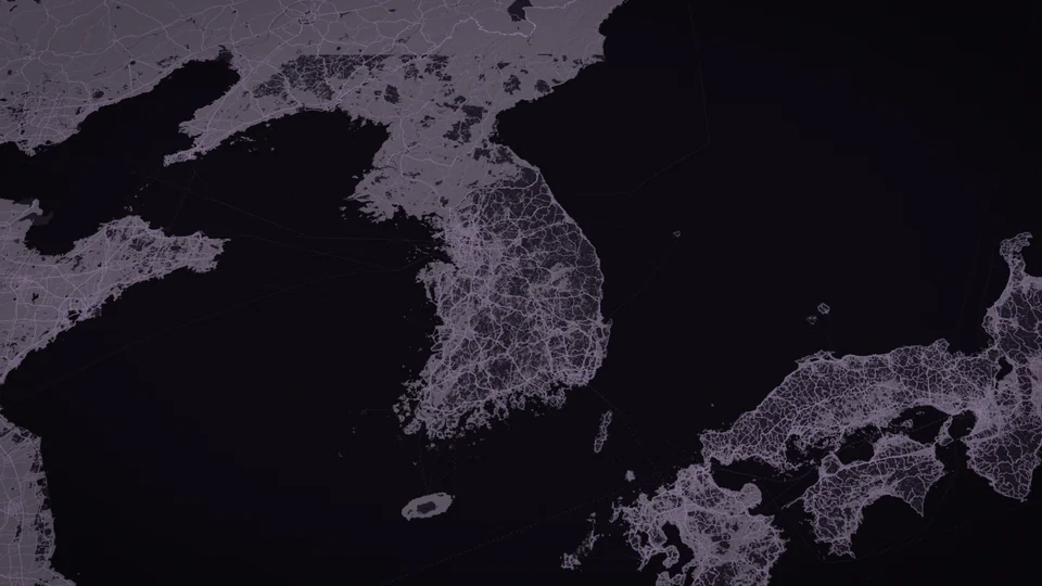
Themes, and a map that is Flat, 3D or Terrain. 16:9, 9:16 or 1:1. 30 to 60 seconds long, or automatic.
Film and poster
SD, Full HD or 4K at 30 or 60 fps, in HEVC or H.264. Save to Photos or share it, with a poster image of the trip.
Title ideas
Written by Apple's on-device model when Apple Intelligence is on, so nothing leaves the iPhone. Otherwise simple ones from the place names.

Your photos stay on your iPhone.
Places, routes and titles are worked out on the device. No account, no analytics, no ads, no tracking, no cloud processing. Maps arrive as shared tiles, fetched by their grid position.
Privacy policy